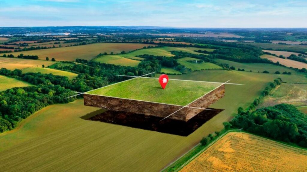
Land development projects are complex undertakings that require meticulous planning and execution. One of the most critical components in ensuring the success of these projects is surveying. Surveying provides the foundational data necessary for accurate planning, design, and construction. It ensures that the development is executed according to plan, minimising risks and maximising efficiency. Understanding the role of surveying in land development is essential for developers, engineers, and stakeholders involved in the process.
The Importance of Surveying in Land Development
Establishing Accurate Boundaries
Surveying plays a pivotal role in establishing accurate property boundaries, which is crucial for avoiding legal disputes and ensuring compliance with zoning laws. By determining the precise dimensions and location of a plot, surveyors help developers understand the exact area available for construction. This information is vital for planning the layout of buildings, roads, and other infrastructure within the site.
Accurate boundary establishment also aids in the proper allocation of resources and space. It ensures that the development does not encroach on neighbouring properties, which could lead to costly legal battles and project delays. Moreover, clear boundaries help in the effective management of land resources, facilitating sustainable development practices.
Topographical Mapping and Site Analysis
Topographical surveys provide detailed information about the natural and man-made features of a site. This includes data on elevation, slopes, vegetation, and existing structures. Such information is crucial for assessing the suitability of the land for development and for identifying any potential challenges that may arise during construction.
By understanding the topography of a site, developers can make informed decisions about the design and placement of structures. For instance, knowing the elevation and slope of the land can influence drainage plans, foundation designs, and the overall layout of the development. This level of detail helps in creating designs that are both functional and aesthetically pleasing.
Furthermore, topographical mapping assists in environmental impact assessments, ensuring that the development is in harmony with the surrounding ecosystem. It allows for the identification of sensitive areas that need to be preserved or protected, promoting environmentally responsible development practices.
Surveying Techniques and Technologies
Traditional Surveying Methods
Traditional surveying methods, such as the use of theodolites and chains, have been the backbone of land surveying for centuries. These techniques involve manual measurements and calculations to determine distances, angles, and elevations. Despite being labour-intensive, traditional methods are highly accurate and are still used in certain situations where modern technology may not be applicable.
The precision of traditional surveying is particularly valuable in areas where digital data may be lacking or where the terrain is challenging. Surveyors rely on their expertise and experience to interpret the data accurately, ensuring that the information gathered is reliable and useful for the project at hand.
Modern Surveying Technologies
Advancements in technology have revolutionised the field of surveying, making it faster and more accurate. Global Positioning System (GPS) technology allows surveyors to determine precise locations using satellites, significantly reducing the time required for data collection. GPS surveying is particularly useful for large-scale projects where traditional methods would be too time-consuming.
Another modern technology is LiDAR (Light Detection and Ranging), which uses laser pulses to create detailed three-dimensional maps of the terrain. LiDAR is capable of capturing data in areas that are difficult to access, such as dense forests or rugged landscapes. This technology provides high-resolution data that is invaluable for planning and design purposes.
Additionally, drones have become an increasingly popular tool in surveying. Equipped with cameras and sensors, drones can capture aerial images and data quickly and efficiently. They offer a bird’s-eye view of the site, providing insights that ground-based methods may miss. The use of drones enhances the accuracy and comprehensiveness of surveys, contributing to better-informed decision-making.
The Role of Surveyors in Land Development
Collaboration with Other Professionals
Surveyors work closely with architects, engineers, and planners to ensure that the development project aligns with the initial design and regulatory requirements. Their expertise in interpreting survey data is crucial for translating plans into reality. By collaborating with other professionals, surveyors help to identify potential issues early in the process, allowing for timely adjustments and preventing costly mistakes.
Effective communication between surveyors and other stakeholders is essential for the smooth execution of a project. Surveyors provide valuable insights that inform design decisions, ensuring that the development is both feasible and compliant with local regulations. This collaborative approach fosters a cohesive working environment, where each professional’s expertise is utilised to its fullest potential.

Ensuring Compliance and Safety
Surveyors play a vital role in ensuring that land development projects comply with local, regional, and national regulations. They provide the necessary documentation and reports that demonstrate adherence to zoning laws, building codes, and environmental regulations. This compliance is crucial for obtaining the necessary permits and approvals to proceed with construction.
In addition to regulatory compliance, surveyors contribute to the safety of the development. By identifying potential hazards and assessing the stability of the land, they help to mitigate risks associated with construction. This proactive approach to safety ensures that the development is not only successful but also sustainable in the long term.
Challenges in Surveying for Land Development
Dealing with Difficult Terrain
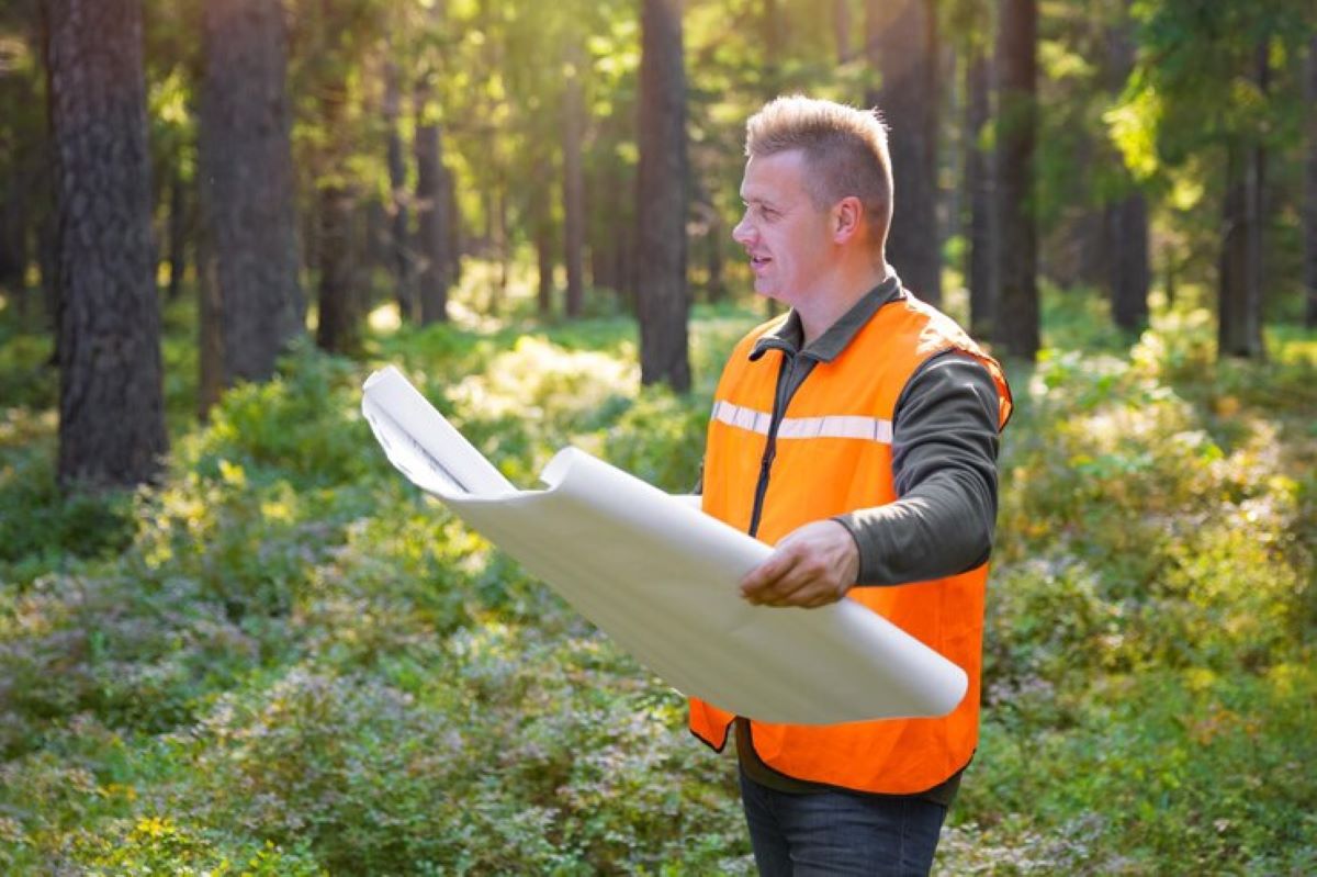
Surveying in challenging terrains, such as mountainous regions or dense forests, presents unique difficulties. Accessing these areas can be physically demanding and time-consuming, requiring specialised equipment and techniques. Surveyors must be adept at navigating these environments to gather accurate data, often relying on a combination of traditional and modern methods to overcome obstacles.
Despite these challenges, accurate surveying in difficult terrains is essential for ensuring the success of the development project. It provides critical information that influences design decisions and helps to identify potential risks that may impact the project’s feasibility. Surveyors’ ability to adapt to these conditions is a testament to their expertise and dedication to their craft.
See Also : Why Experienced Surveyors Are Key to Successful Construction Projects
Managing Technological Limitations
While modern surveying technologies offer numerous advantages, they are not without limitations. Factors such as signal interference, equipment malfunctions, and data processing errors can impact the accuracy of the survey. Surveyors must be vigilant in identifying and addressing these issues to ensure that the data collected is reliable and useful for the project.
Moreover, the rapid pace of technological advancement means that surveyors must continually update their skills and knowledge to stay current with the latest tools and techniques. This ongoing professional development is crucial for maintaining the high standards of accuracy and precision required in land development projects.

Conclusion
Surveying is an indispensable component of land development projects, providing the accurate data necessary for informed decision-making and successful execution. From establishing boundaries and mapping topography to ensuring compliance and safety, surveyors play a critical role in every stage of the development process. By leveraging both traditional methods and modern technologies, surveyors ensure that projects are completed efficiently, sustainably, and in accordance with all relevant regulations. As land development continues to evolve, the importance of accurate and reliable surveying will remain paramount, underscoring its essential role in shaping our built environment.

